We come and survey on site.
Every project starts in the field. We survey both for as-built documentation and for virtual tours: fast, no scaffolding, no disruption to your operations.
Learn moreWalk through it online with Matterport Pro3
We digitise your spaces into an immersive 3D virtual tour. Let anyone walk every corner of the building straight from a web browser.
Learn moreAutonomous LiDAR scanning where scaffolding cannot reach.
A drone reaches what people cannot: roof structures, high facades and inaccessible details. Combined with handheld scanning and merged together, the data produces an accurate point cloud with no platforms or scaffolding.
Learn moreTurning reality into digital form
With BLK2GO and BLK2FLY LiDAR we capture a point cloud accurate to millimetres, recorded in real time. It is the basis for any digital twin of the building.
Learn more3D model and 2D drawings, digital
We process the raw data into final documentation in Revit. The result is complete as-built documentation: 2D sections, elevations and floor plans, plus a 3D model ready for BIM and facility management.
Learn moreWe come and survey on site.
Every project starts in the field. We survey both for as-built documentation and for virtual tours: fast, no scaffolding, no disruption to your operations.
Learn moreWalk through it online with Matterport Pro3
We digitise your spaces into an immersive 3D virtual tour. Let anyone walk every corner of the building straight from a web browser.
Learn moreAutonomous LiDAR scanning where scaffolding cannot reach.
A drone reaches what people cannot: roof structures, high facades and inaccessible details. Combined with handheld scanning and merged together, the data produces an accurate point cloud with no platforms or scaffolding.
Learn moreTurning reality into digital form
With BLK2GO and BLK2FLY LiDAR we capture a point cloud accurate to millimetres, recorded in real time. It is the basis for any digital twin of the building.
Learn more3D model and 2D drawings, digital
We process the raw data into final documentation in Revit. The result is complete as-built documentation: 2D sections, elevations and floor plans, plus a 3D model ready for BIM and facility management.
Learn moreFast turnaround within a few days
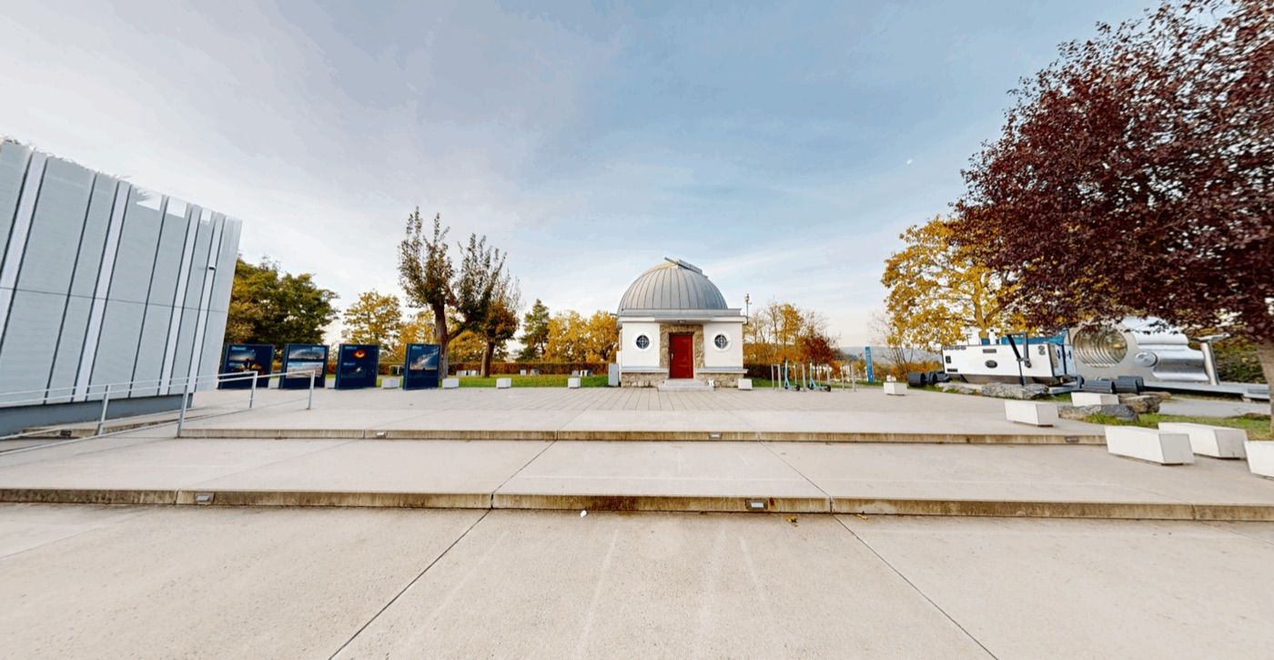
Matterport Pro 3 tour
Interactive microsite
If you need a visual presentation, there is no reason to wait. The scanning itself takes very little time and the resulting virtual tour is usually ready within days. We can easily embed the output on your website via iFrame, or build a clear interactive map that lets you reach your clients right away.
Five products, one dataset.
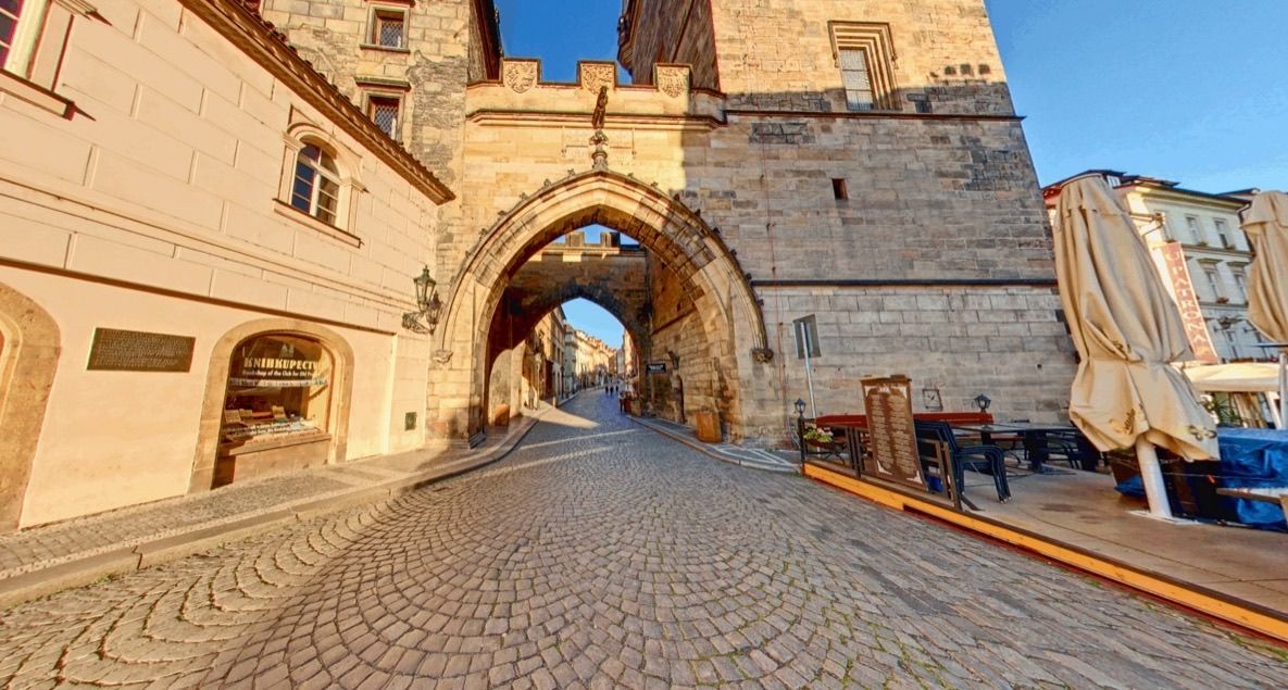
Matterport virtual tours
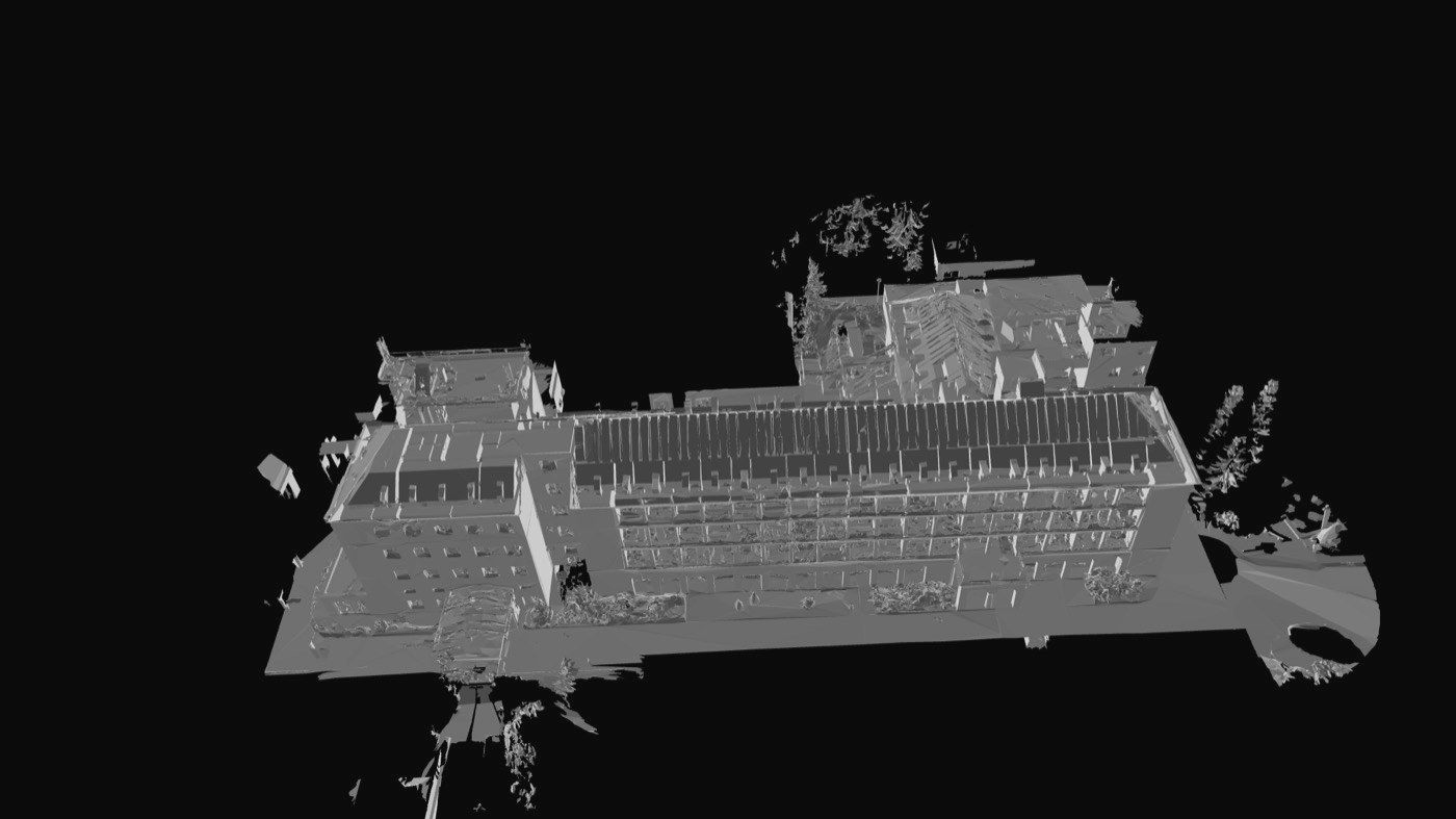
Point cloud & LiDAR scanning
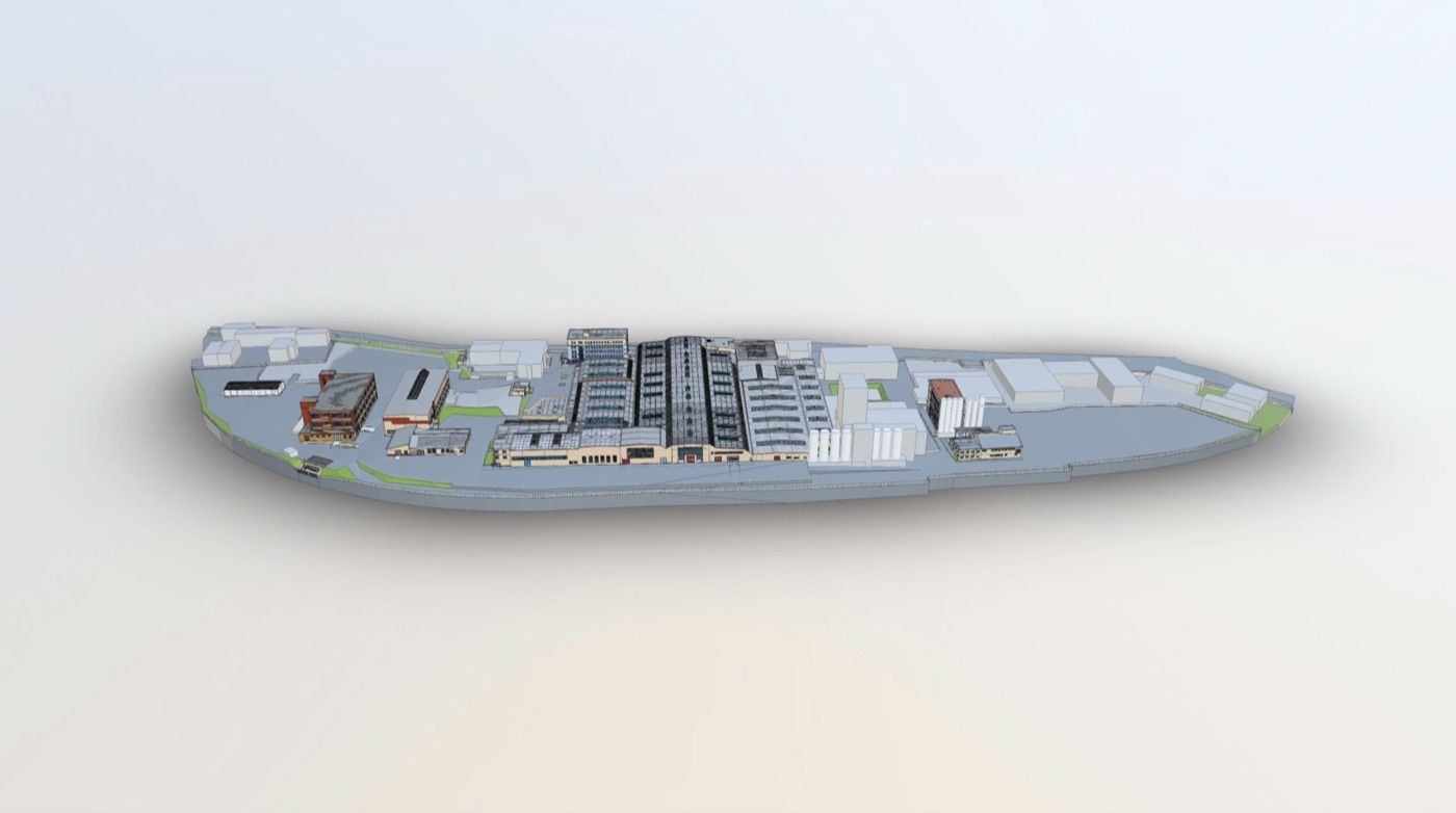
Building documentation
Pano virtual tours
Precise documentation
RVT, DWG and PDF for efficient property management
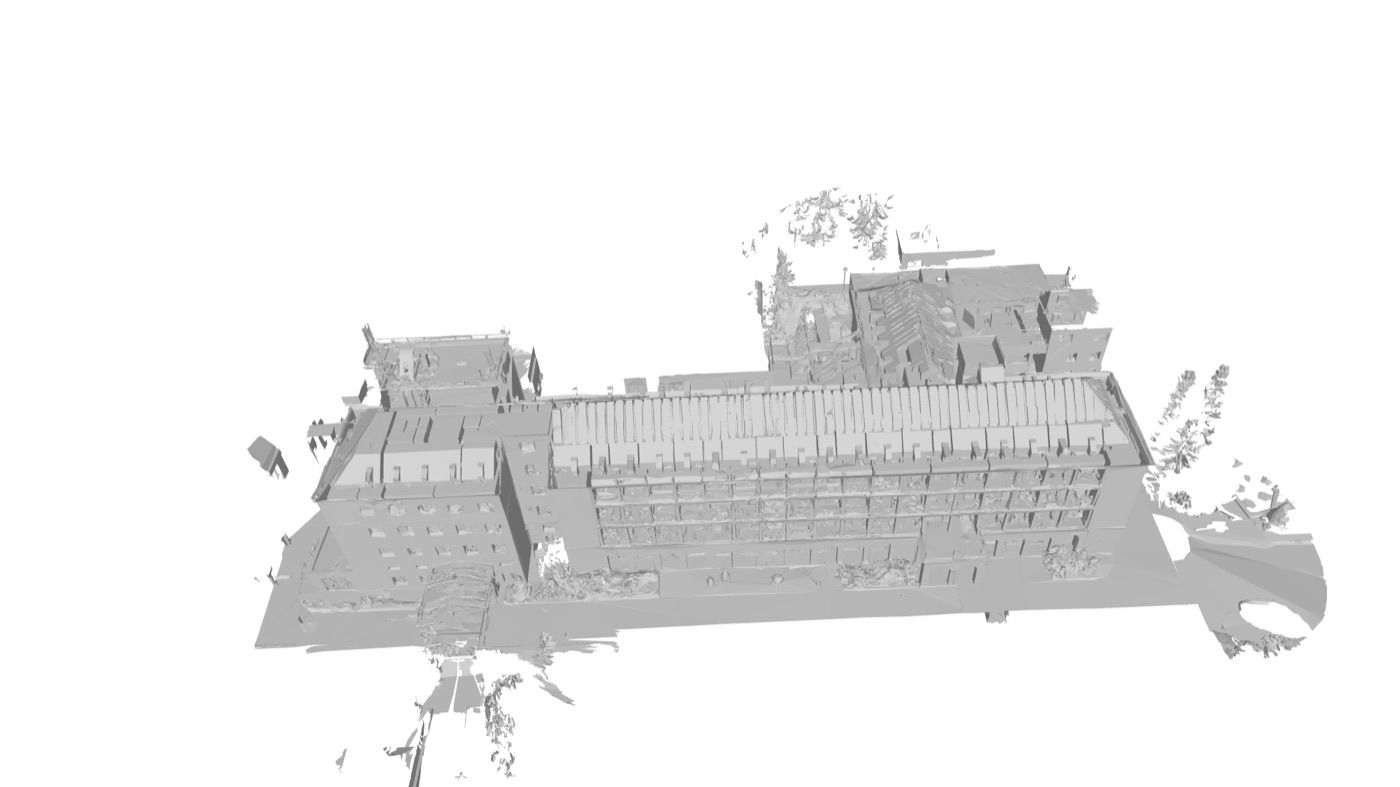
Surveying on site with a LiDAR laser scanner takes only hours, but the work that follows demands maximum precision, and therefore time. We take real care processing the raw point cloud into a 3D model (.rvt, .ifc) and 2D drawings (.dwg, .pdf) so that you receive drawings accurate to the millimetre.
Check out our
case studies.
See how we have helped museums, municipalities and businesses across Czechia.
TECHNOLOGY
Technology only a handful of Czech companies operate.
We scan with flagship Leica BLK devices: from a handheld scanner to an autonomous flying LiDAR. That is why we handle what others cannot reach.
HANDHELD MOBILE SCANNER
Leica BLK2GO
Scan buildings while walking. No tripod, and fast.
This scanner uses advanced LiDAR and GrandSLAM technology for instant orientation in space. We document an entire floor within minutes, with deviation on the order of millimetres. The result is a detailed point cloud without needlessly holding up your operation.
Leica BLK2FLY
A drone with an integrated LiDAR scanner that avoids obstacles on its own. It safely captures facades, roofs and otherwise inaccessible places. Its data is the ideal basis for an accurate 3D model and subsequent building documentation of complex structures.








Frequently asked questions.
How fast do we get the finished data?
Within 48 hours of scanning as standard. For larger sites we agree on a specific timeline in advance.
Do we need to stop operations for scanning?
No. We scan on site with a LiDAR scanner, without opening up ceilings or needing to stop the building operation.
What is the difference between a Matterport and a Pano tour?
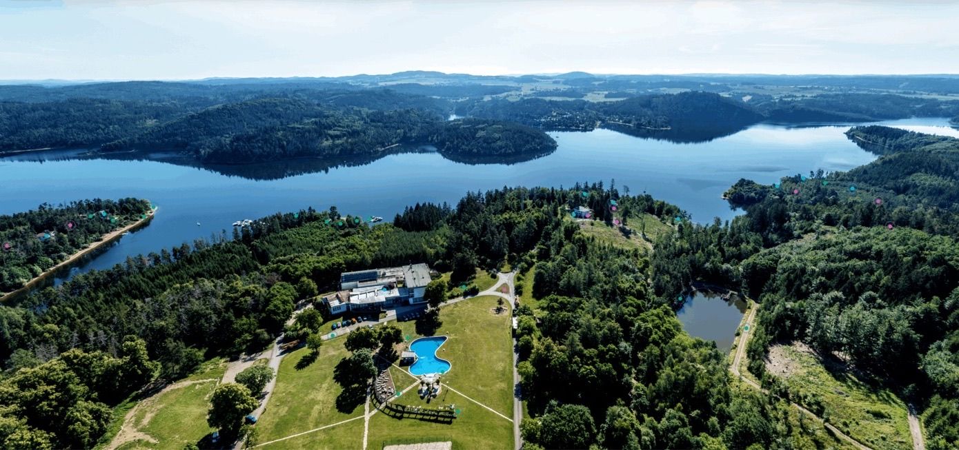
Matterport is built for measurable 3D walkthroughs with floor plans and measuring. Pano is a panoramic 360 degree tour focused on atmosphere, a good fit for hotels or wellness centres.
What accuracy do you guarantee?
Accuracy of plus/minus 0.3 mm at a 10 m range. We reach that with Leica BLK2GO and BLK2FLY LiDAR scanners.
What formats do you deliver?
Whatever fits the job: PDF and DWG drawings, point clouds, Revit and BIM models, or a finished virtual tour with its own link.
Do you scan outside Brno?
Yes, across the whole Czech Republic. We are based in Brno but work with clients nationwide.
How does a quote work?
Tell us about the space and what you need. We put together a no obligation quote, usually within 24 hours.
We start with a conversation. Free consultation.
Building documentation, 3D laser scanning with Leica BLK2GO and BLK2FLY, point clouds, Revit and BIM deliverables and Matterport virtual tours. Finished data delivered within 48 hours of scanning. We reply to enquiries within 48 hours.
Company ID29281172
VAT IDCZ29281172